PPCC meeting is March 21; guests will be Adam Fulton and Kyle Deming from City Planning, 7pm
By Dawn Buck on Feb 1, 2023 in Uncategorized
FEMA flood maps (Duluth): Thank you to Paul Treuer and Councilor Roz Randorf who attended the 2/16 public meeting on the new St. Louis County flood maps showing new coastal zone mapping. We are inviting City of Duluth Planning Department personnel to attend the March 21 meeting to learn how the new overlays will affect Park Point properties and future planning and funding for resiliency. 7pm, upper Lafayette on March 21. Here is the City’s site with details.
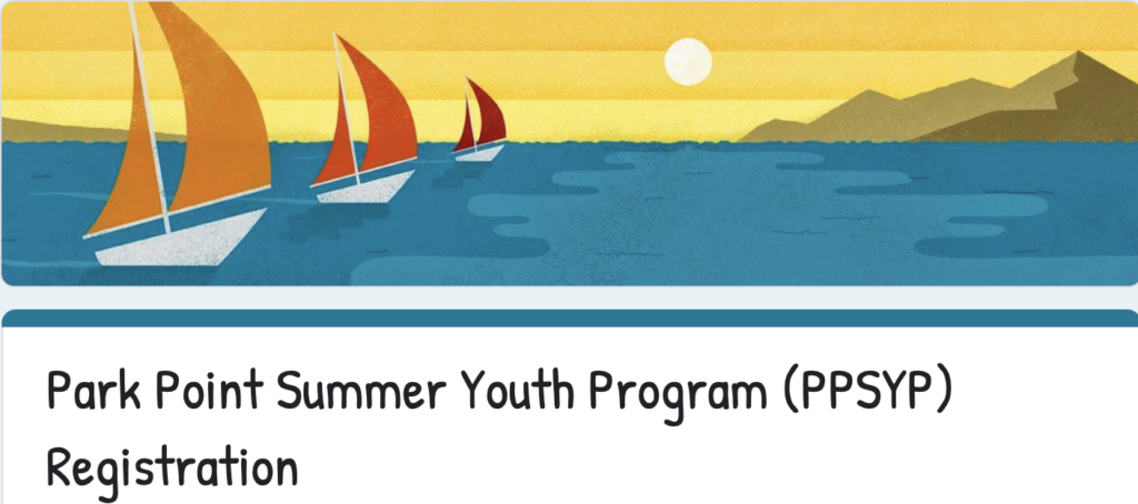
2023 Summer Youth Program Here is the link to learn more and sign up! Come to the Open House on Tuesday, April 18th, 5-7pm and learn more about the program!
St. Louis Estuary Project Sites Here
Paddler Awareness for the St. Louis Estuary
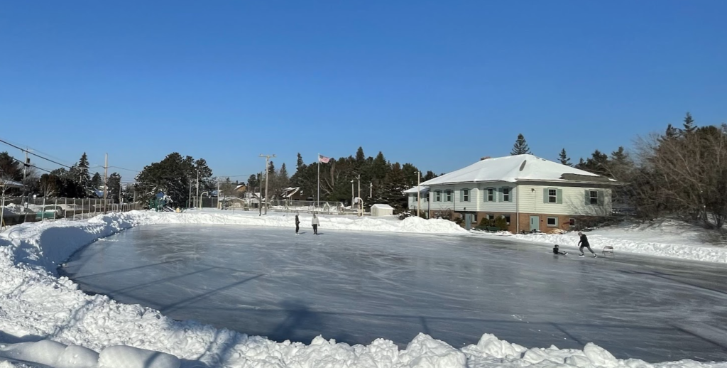
Photos from Rinkfest 2023 Thank you to everyone who worked on this fun event!
The February Edition of the Breeze is here
Picture from 2/10
Resources from MP50
Greetings! Here are notes and links to presentations on the Section 111 Study and FEMA Flood Maps made on January 13, 2023. You are welcome to share these presentation materials. On behalf of the community, thank you to the presenters for sharing this information with us.
Sincerely, Paul Treuer MP50 Coordinator
Section 111 Study Update
Capt. Sam Briscoe, Section 111 Project Lead, Nick Zager, Chief of Planning, USACE, Dr. James Selegean, Hydraulic Engineer, USACE, Kate Kubiak, Naturalist, City of Duluth: Nick Zager unable to attend today, John Love is in attendance.
Presentation recording– edited captions forthcoming
Brief notes:
In the process of contacting firms to develop a coastal model to inform study. Draft feasibility report completed early to mid 2024. Capt. Briscoe will update the MP50 group with a modified schedule.
Jim Selegean presented on the previous Section 111 study conducted in 2001 and its shortcomings. Shared proposed current Section 111 scope including conceptual sediment budget. Scope includes: literature review, bluff recession and characterization, growth of accretion fillets, sediment yield and characterization, misc. tributary inputs, sediment transport modeling, model validation, and dredging history
Resources shared in chat:
- Coastal Erosion Hazard Mapping Project could help pinpoint locations for quantifying
- Adam Bechle from Wisconsin Sea Grant may have information regarding WI bluff erosion rates and quantities
- Wisconsin bluff resources
- Steve DeLong USGS recently published an analysis of the repeat lidar the MNDNR collected prior to and following the 2012 Duluth floods. available here: https://doi.org/10.1029/2022EA002420 and as PDF here: https://agupubs.onlinelibrary.wiley.com/doi/epdf/10.1029/2022EA002420. The data generated are available here: https://doi.org/10.5066/P9PXCY4Y
- a recently published landslide inventory for Minnesota available here: https://doi.org/10.5066/P94KF6OM
Viewing and Understanding Preliminary Updates to the FEMA St. Louis County Flood Maps: Focus on MN Point
Ceil Strauss, State Floodplain Manager, Mn DNR
Presentation recording – edited captions forthcoming
Brief notes follow:
Current official maps of Duluth are old. Effective map is dated 1992, but really 1979.
We are getting new St. Louis County maps which will include new coastal zone mapping. Preliminary new maps were released in late October 2022. Public open house to review new maps on 2/16/2023, 5-7pm at Public Works Pike Lake Conference Room, 4787 Midway Road, Duluth. Local official meeting will be held before public meeting from 2:00-4:00pm.
Official new maps ~2024-2025
Ceil’s slides contain a variety of links with resources. – need to get slides from Ceil
Resources shared in chat:
- https://www.fema.gov/glossary/zone-ve-and-v1-30
- https://www.youtube.com/watch?v=zb2AK-NUvxQ&t=14s Brief FEMA video – Mapping Flood Risk along the Great Lakes. good tutorial
- https://coast.noaa.gov/digitalcoast/training/what-is-storm-surge.html
- https://www.greatlakescoast.org/
- https://www.greatlakescoast.org/pubs/factSheets/Region_V_VE_Zone_FS_V7_012219_FINAL.pdf
- Melanie’s presentation from 2020: https://www.youtube.com/watch?v=afVTBMg3dOk
- https://www.fema.gov/about/glossary
Sorry, comments for this entry are closed at this time.